Monday, 21 November 2011

10 - Lake Wainamu and Houghton Tracks (Bethells - Te Henga)

Lake Wainamu Track
Houghton Track
Lake Wainamu and Smythe Ridge
                                                                                                                        
Loop: 10 - Lake Wainamu and Houghton Tracks
Region: Bethells - Te Henga
Access Point: Bethells Rd
Coordinates: -36.88391 174.45266
Track #
Track Name
Distance (km)
132
Lake Wainamu Track (clockwise)
4.0
131
Houghton Track
2.1
131
return Houghton Track
2.1
132
Lake Wainamu Track (clockwise)
3.1

Map Distance
11.3
Measured Distance
11.7
                                                                                                                        
Completed: Solo on 18 NOV 2011

131. Houghton Track
keywords:
Runnable, technical, rocks, roots, dirt, narrow, well-marked, steep slope, bush-covered.
comments:
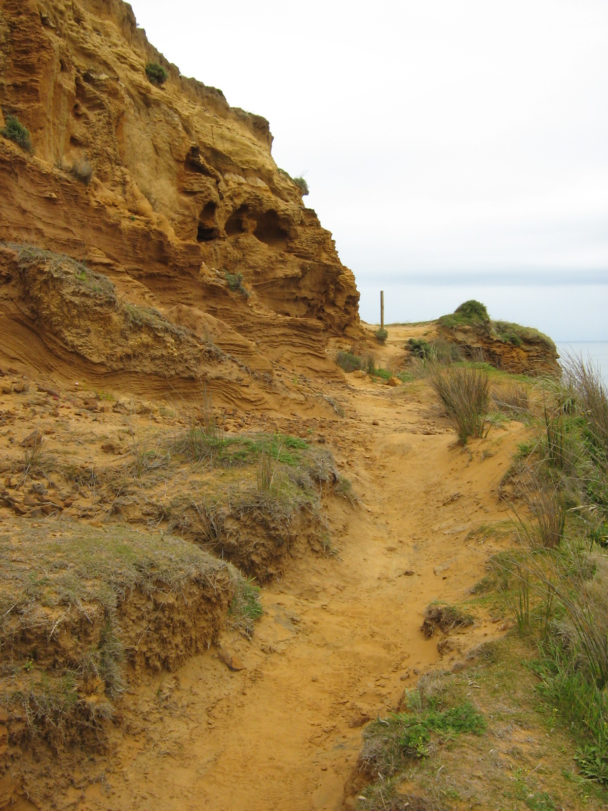
A relentless 2 km steep rise to Smyth Ridge with plenty of obstacles underfoot. Ignore the lesser-formed side tracks as they lead to private property. This track is part of the Hillary trail.

                                                                                                                        
Top Section
132. Lake Wainamu Track
keywords:  
runnable, non-technical, sand/grass/dirt/gravel, wide with some single-track, well-marked, flat, open, view (waterfalls, dunes and Lake Wainamu).
comments: 
A flat and open loop track around Lake Wainamu taking in some stunning and unique scenery. You can intensify this run by ascending the dunes or choosing the loose sandy sections as terrain. A small side-trip will reveal a set of water-falls. Part of the Lake Wainamu loop is included in the Hillary trail.
                                                                                                                        

Topo Map (click to enlarge)
Elevation Profile (click to enlarge)


Lake Wainamu Track
Lake Wainamu Track

Lake Wainamu Track
Houghton Track

Tuesday, 15 November 2011

8 - Upper Nihotupu Walk (Arataki)


Loop: 8 Upper Nihotupu Walk
Region: Arataki
Access Point: Piha Road
Coordinates: -36.93619 174.55926

Track #
Track Name
Distance (km)
51
Upper Nihotupu Walk
2.6
51
return Upper Nihotupu Walk
2.6
Map Distance
Measured Distance
5.2
*6.4
*Includes additional return distance to tunnels
                                                                                                                        
Completed: Solo on 15 NOV 2011

51. Upper Nihotupu Walk
keywords:
Runnable, non-technical, gravel, wide, well-marked, gentle to medium slope, semi bush-covered, stairs (up dam face), views (dam, waterfall, tram-tracks and tunnels)
comments:
A very easy short run of a gentle to medium incline to Upper Nihotupu Dam and other features. There is a noteworthy stair climb up the dam face.
                                                                                                                        
Topo Map (click to enlarge)
Elevation Profile (click to enlarge)

View 8 Upper Nihotupu Walk in a larger map


Saturday, 12 November 2011

2 - Te Henga Walkway (Bethells-Te Henga)


Loop:2 - Te-Henga Walkway
Region:Bethells - Te Henga
Access Point:Constable Road
Coordinates:-36.84880 174.44373
Track #
Track Name
Distance (km)
142
Te Henga-Goldie Bush Walkway (west)
8.8
142
return Te Henga-Goldie Bush Walkway (west)
8.8
Map Distance
Measured Distance
17.6
19.0
                                                                                                                        
Completed: Solo on 12 NOV 2011


142. Te Henga-Goldie Bush Walkway (west)
keywords:
Runnable (mostly), technical, knee and head high vegetation, uneven dirt/grass surface, slippery (when wet), single-track, well-marked, steep to medium slope, stairs (few), exposed, view (west coastline)
comments:
An extremely challenging, highly technical cliff run. A combination of flax, gorse, and long grass as well as hidden uneven surfaces, make sections of this track very frustrating to run. The trail veers and slopes towards a steep drop on occasion and is suffering from erosion. And of course there's the stunning view to tempt your eyes from the track, which may have consequences. Out and back - its a long run! There is a steep ascent from Bethells Beach to the ridge line and up to Constable Road, with undulating ground in-between, traversing headlands and bays. Just stunning!

Topo Map (click to enlarge)
Elevation Profile (click to enlarge)

View 2 Te Henga Walkway in a larger map


Thursday, 10 November 2011

4 - Ferndown and Taumata Tracks (Cascades)

Ferndown Track

Taumata Track

                                                                                                                        
Loop: 4 - Ferndown - Taumata Tracks
Region: Cascades
Access Point: Opanuku Rd
Coordinates: -36.91831 174.56834
Track #
Track Name
Distance (km)
127
Ferndown Track
2.2
127
return Ferndown Track
2.2
46
Taumata Track
0.9
46
return Taumata Track
0.9
Map Distance
Measured Distance
6.2
6.0

                                                                                                                        
Completed: Solo on 10 NOV 2011

127. Ferndown Track
keywords:
Runnable, technical, roots, rocks, river crossing, dirt/mud/clay, slippery, wide, well-marked, medium slope, stairs (few), bush-covered.
comments:
Very slippery track with what seems like a long ascent/descent. Technical in nature due to the V groove in the track. A reasonably challenging, covered run.
                                                                                                                        
Top Section
46. Taumata Track
keywords:
 non-runnable (mostly), technical, roots, hands required, dirt/mud/bog, slippery, single-track, well-marked, steep, bush-covered, view (Auckland City).
comments:
On this particular day, the majority of this was un-runnable because the track was a bog and the gradient towards the summit slowed movement to a walk. Its a short, steep track rewarded with an amazing view of Auckland City. Rate this for the view alone!


Topo Map (click to enlarge)
Elevation Profile (click to enlarge)

View 4 Ferndown - Taumata Tracks in a larger map

View from Parekura Peak (Taumata Track)
Ferndown Track

Taumata Track