 |  |

| Loop: | 2 - Te-Henga Walkway | |
| Region: | Bethells - Te Henga | |
| Access Point: | Constable Road | |
| Coordinates: | -36.84880 174.44373 | |
Track # | Track Name | Distance (km) |
142 | Te Henga-Goldie Bush Walkway (west) | 8.8 |
142 | return Te Henga-Goldie Bush Walkway (west) | 8.8 |
Map Distance Measured Distance | 17.6 19.0 |
Completed: Solo on 12 NOV 2011
142. Te Henga-Goldie Bush Walkway (west)
keywords:
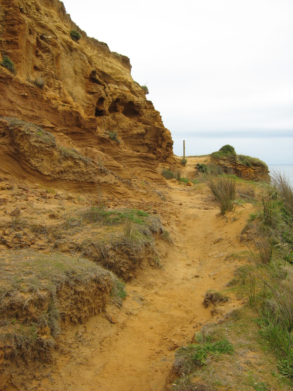
Runnable (mostly), technical, knee and head high vegetation, uneven dirt/grass surface, slippery (when wet), single-track, well-marked, steep to medium slope, stairs (few), exposed, view (west coastline)
comments:
An extremely challenging, highly technical cliff run. A combination of flax, gorse, and long grass as well as hidden uneven surfaces, make sections of this track very frustrating to run. The trail veers and slopes towards a steep drop on occasion and is suffering from erosion. And of course there's the stunning view to tempt your eyes from the track, which may have consequences. Out and back - its a long run! There is a steep ascent from Bethells Beach to the ridge line and up to Constable Road, with undulating ground in-between, traversing headlands and bays. Just stunning! |
| Topo Map (click to enlarge) |
 |
| Elevation Profile (click to enlarge) |

 |  |
 |  |

Wow that's a long run. Bet the view was worth it though.. so much ocean.
ReplyDelete